

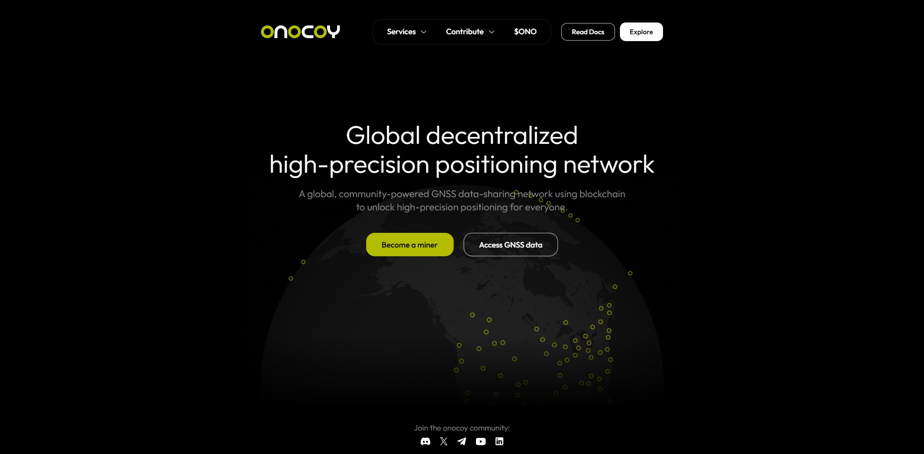
Today, we’re joined by Thomas Nigg, Co-founder of Onocoy and CEO of the onocoy Services AG. Thomas spent more than 25 years in the GPS and GNSS industry, mostly in marketing and management positions, and hence knows onocoy’s target market in and out. He entered the DePIN space 4 years ago, with the intention to fix an unsolved real-world problem with the possibilities offered by blockchain technology.
Chris: What was the original “aha moment” that led you to start onocoy - was it a frustration with centralized GNSS services, or a broader belief in DePIN models?
Thomas: In one of my previous positions as head of product strategy at GPS/GNSS chip maker u-blox, we introduced one of the world’s first mass-market high precision GNSS receiver but struggled to serve the customers with the necessary affordable, globally available GNSS correction service. As we felt, this problem is best addressed by an industry wide solution, we formed a joint venture with Bosch, Mitsubishi Electric and a German engineering company to create such a service. Although it worked technically, the JV did not achieve widespread acceptance, not least because the JV partners drifted apart. When we learnt how Helium addresses the LoRA WAN market with a DePIN approach, we quickly realized DePIN this is the way to solve the problem. Only a shared infrastructure layer serving the entire industry achieves the necessary economies of scale. And decentralized governance is a prerequisite to bring the industry to work together (a lesson learnt from the previous JV approach)
Chris: GNSS is highly technical - how do you plan to make something as complex as “centimeter-level corrections” understandable and exciting to everyday people?
Thomas: High-precision positioning may be exciting for nerds, but it is difficult to bring this across to the general public. Applications in the centimeter range, however, are very attractive to the general public. Many people find it fascinating how an agricultural robot navigates a field with centimeter precision and weeds automatically. Or when an industrial drone inspects a bridge for damage, or when a delivery drone carries medicines to inaccessible places in the developing world. It is very well possible to motivate everyday people to contribute to this by operating a reference station.
Chris: You describe onocoy as aiming to make GNSS as accessible as Wi-Fi. What parallels do you see between the growth of Wi-Fi and the future adoption of GNSS corrections?
Thomas: My 25 years of experience in the GNSS industry have taught me that engineers' creativity is virtually unbounded. As soon as you give them new things to work with, they find countless applications for them. I have been repeatedly surprised by the ways in which GPS has been used. It was engineers who turned GPS (with meter-level accuracy) from a niche technology into a mass market with more than 2 billion receivers sold annually. There is no reason to doubt that they will not exploit the new possibilities of centimeter-level accuracy in the same way.
Chris: Can you break down what makes a good GNSS reference station “miner”? For example, what hardware or environment conditions matter most for high-quality data?
Thomas: A good reference station first needs a clear view of the sky. The antenna should also be mounted (typically on the roof) in such a way that it cannot move, despite wind or heat. Even movements in the millimeter range would cause distortion. Then you need a good receiver that supports all relevant GPS systems and signals. Our website lists the suitable hardware available from our partners. Finally, the receiver must be permanently operational, which requires a stable power supply and a good internet connection.
Chris: The ONO token incentivizes deployment in underserved regions. How do you design token economics so they actually drive stations into rural Africa or South America, instead of just rewarding urban clustering?
Thomas: onocoy's reward system is designed to reward the installation of stations in areas with insufficient coverage, while rewards decrease if an area is oversupplied. This allows the system to regulate itself. To help potential station operators assess whether it is worthwhile to set up another station in a particular location, onocoy provides them with tools on its website so that they can estimate how high the reward would be. Furthermore, we will soon introduce a platform extension that will allow us to offer additional rewards for rolling out stations in particularly relevant areas.
Chris: Token rewards are tied to both data quality and usage - how do you balance rewarding “quality” versus “location,” especially if a remote station isn’t used heavily at first?
Thomas: onocoy's reward consists of several elements. The core is the so-called daily base reward, which is multiplied by a quality scale, an availability scale, and a location scale. This means that a miner must deliver high quality and good availability while also operating the station in a relevant, not overpopulated location. In short, onocoy rewards miners for the value they provide to the platform.
We will soon introduce additional rewards that honor high quality and availability over a longer period of time, as requested by onocoy's customers. We will also introduce usage rewards that allow miners to participate in onocoy's commercial success.
Chris: Onocoy highlights agriculture, autonomous vehicles, and disaster response as key verticals. Which do you think will actually drive adoption first - and why?
Thomas: Agriculture is the vertical with the highest adoption in the short term. But robotics (think of e.g. robotic lawnmowers) and UAV are following swift. It will take more time to develop verticals in the earth observation space, as dense coverage in currently underserved areas needs to be built first.
Chris: What do you think will surprise people the most when GNSS corrections become widely accessible - something they don’t realize yet about location precision?
Thomas: Data from GNSS reference stations can be used to estimate the amount of precipitable water vapor in the atmosphere, a key factor in forecasting rain, storms, and climate variations. Thanks to onocoy's dense global network, such data will also become available in places where there are currently no sensors. This will lead to improved weather forecasts not only in developing countries, but everywhere.
Chris: You’re structured as a Swiss non-profit with square-root governance. Why square-root voting, and what lessons did you take from other DAOs that influenced this choice?
Thomas: The reason behind square-root voting is twofold. Firstly, it's based on complex systems science, which our co-founder Mark Ballandies developed in his dissertation on incentive-based (web3) systems. Secondly, it's based on practical considerations from the GNSS industry. In order to become the shared infrastructure for an entire industry, onocoy must remain independent. As soon as individual stakeholders begin to fear that their competitors might dominate onocoy, they will shy away from participating in onocoy because it would make them dependent on their competitors. The aforementioned joint venture clearly demonstrated how important such independence is (or rather, would have been).
Chris: In 10 years, if onocoy is wildly successful, what does the world look like? Are we talking about every autonomous car, farm, and drone pulling corrections from your network - or something even bigger?
Thomas: We believe that centimeter-accurate positioning will become ubiquitous, whether in cars, robots, drones, etc. And not only in the Western Hemisphere, but everywhere, including emerging and developing countries. However, global coverage also enables new applications such as large-scale monitoring of plate tectonics, earthquake and tsunami warnings, meteorology, etc., which are not possible today due to the lack of an integrated global network. One can compare this to the role that TCP/IP plays on the Internet. The introduction of TCP/IP made it possible to decouple software and services from the physical transmission channel (e.g., cellular, fiber, cable, etc.), which laid the foundation for countless new applications, including artificial intelligence.
 usdt
usdt bnb
bnb